Matrac Mountain Notes is an independent guide for people who
Nearby places

Nearby
Harrah's Cherokee Center – Asheville
87 Haywood Street, Asheville, NC 28801

Nearby
Blue Ridge Parkway
469-mile scenic road managed by the National Park Service; Blue Ridge Parkway Visitor Center at Milepost 384 near Asheville, NC
Nearby
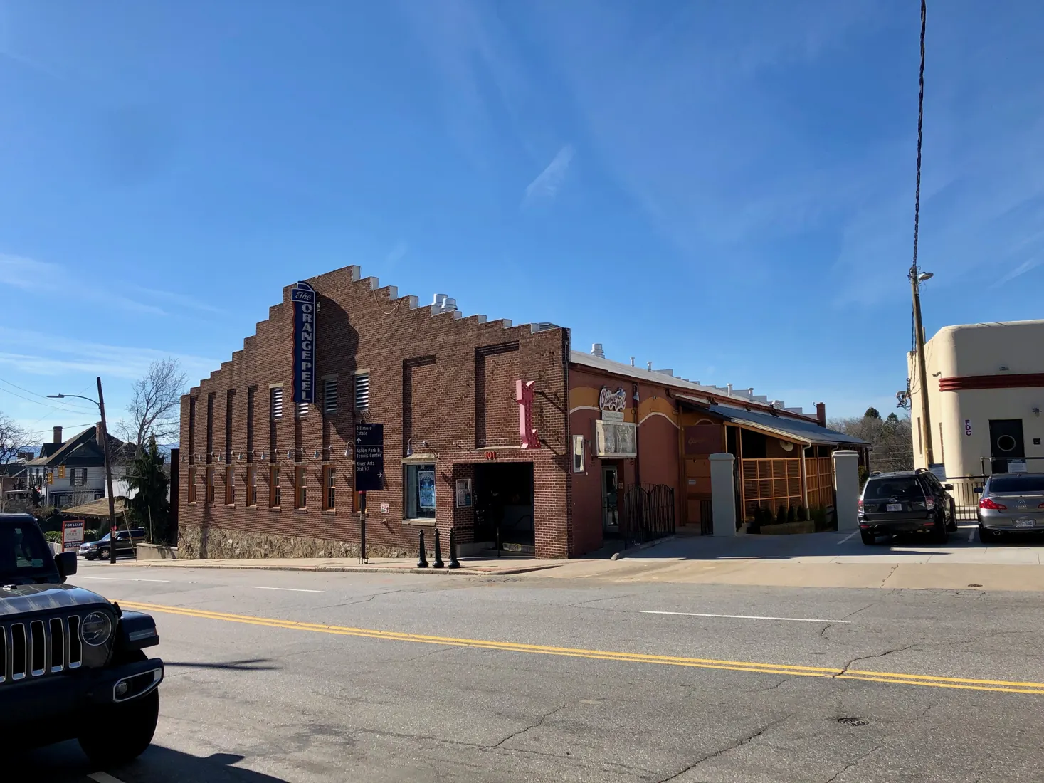
The Orange Peel
101 Biltmore Avenue, Asheville, NC 28801

Nearby
Biltmore Estate
1 Lodge Street, Asheville, NC 28803

Nearby
The North Carolina Arboretum
20 Frederick Law Olmsted Way, Asheville, NC 28806

Nearby
Thomas Wolfe Memorial
52 N. Market Street, Asheville, NC 28801

Nearby
The Grey Eagle
185 Clingman Avenue, Asheville, NC 28801

Nearby
Wortham Center for the Performing Arts
18 Biltmore Avenue, Asheville, NC 28801
Getting between these places safely
The places on this list fall into two groups: downtown venues you can walk between, and destinations on the edge of town or in the mountains where the safety picture changes. Downtown, Harrah's Cherokee Center, the Wortham Center and The Orange Peel sit within a short walk of each other, and the Thomas Wolfe Memorial is close by. The Grey Eagle is in the River Arts District, down the hill toward the French Broad River. That walk involves steeper streets and patchier lighting, so many people drive or take a ride-share after a late show.
Nights out downtown
- Plan the ride home first. Ride-share demand spikes when big shows let out at the arena or The Orange Peel. Expect waits, or agree on a meeting point a few blocks away from the crowd.
- Check the venue's own site for bag policies, age rules and door times before you go. These differ between a large arena and a small club.
- Look after each other. Keep your group together, keep phones charged and watch your drinks. Know where the exits are in standing-room crowds.
- Dress for the walk. Mountain evenings cool quickly, even after a warm day.
Daytime trips out of town
The Biltmore Estate and the North Carolina Arboretum are big grounds, and visits there usually mean hours on your feet outdoors. Bring water, sun protection and comfortable shoes. The Blue Ridge Parkway calls for more care:
- Cell coverage is unreliable along much of the road.
- Sections can close in winter or after storms. Check the National Park Service's current road status before heading out.
- Fog, sudden weather changes and slow, winding curves are common, so allow extra time and keep fuel topped up.
- Tell someone your route if you plan to hike from an overlook.
A basic kit in the car is worth having, and our first-aid awareness notes cover what to include. For broader planning around storms and closures, see Be Prepared. To time a visit around concerts and seasonal happenings, browse the events page, and always confirm details with the venue itself.